


Advertisement
Advertisement
Advertisement
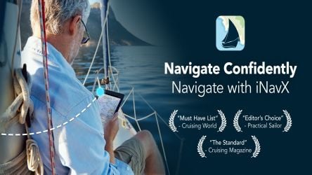
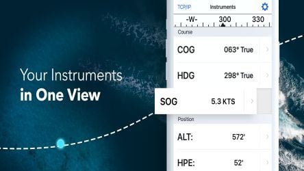
With iNavX, the world's largest handheld chartplotter, you can easily navigate at sea. Access charts, maps, weather, AIS and more!
The iNavX takes handheld marine navigation to new heights.
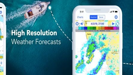
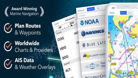
-Sailors - Use waypoints and route management to plan sailing routes. Get proactive voyage management with GRIB weather forecasts, then monitor and integrate with your onboard systems via AIS overlays. Plus, you can remember where you're sailing by geo-tagging photos.
-Paddlers - Stay informed about boating conditions and provide forecasts about currents, winds and swells. Manage your boating equipment with nautical instrument integration, then save important boating routes to share with the track log.
-Angler-Search holes and inlets to discover new fishing spots. Find the best fishing conditions by identifying cold fronts and save the best fishing spots with unlimited markers.
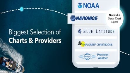
iNavX is the only application that gives you complete global chart coverage from all your favorite chart providers (including Navionics)! iNavX features one-click access to the widest range of charts and maps from multiple providers, giving users
Trusted internationally by recreational and professional sailors, cruisers, boaters, fishermen and divers.